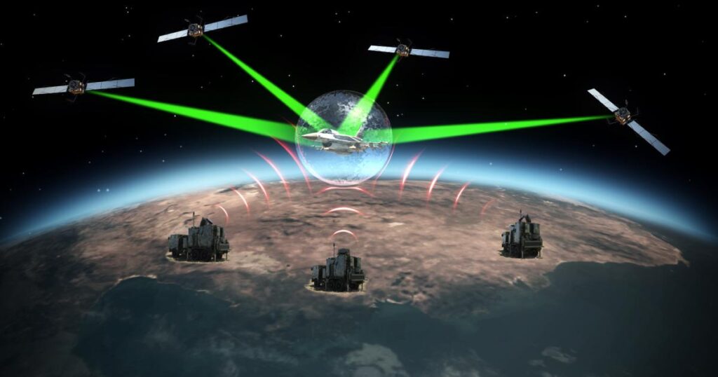
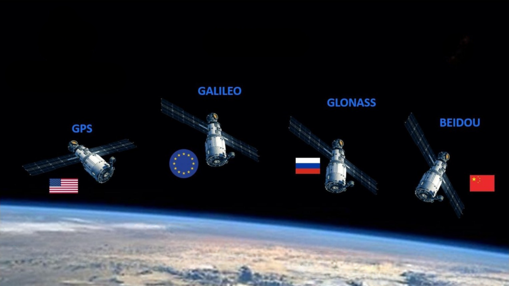
The role of GPS system in modern aircraft is becoming more and more important, and there are more and more reports of GPS signal interference, which will reduce the navigation ability of aircraft and seriously affect aviation safety. This paper introduces the causes and phenomena of GPS signal interference, its impact on aircraft operation, and the recommended measures to deal with GPS signal interference, so as to help aircraft maintenance identify and eliminate interference information and ensure aircraft safety.
1. GPS signal interference
The GPS jamming phenomenon is usually the failure of the dual GPS system at the same time and the synchronization of a short period of time to normalize, and the cockpit effect appears “GPS PRIMARY LOST” CAS area information or navigation degradation DGRAD information, indicating that the GPS signal data is abnormal and can no longer be used as the preferred location source of the aircraft. At the same time, for aircraft with RNP operation and ADS-B operation capabilities, “NAV RNP AR CAPABILITY LOST”, ADS-B not avail will appear, indicating the loss of this operational capability.

2. Causes of GPS signal interference
GPS satellites are distributed in six orbital planes with an average altitude of about 20,000 kilometers above the ground. Due to the low signal power, any nearby surface signal source with a frequency band range of about (1575.42±10) MHz is very susceptible to interference with the GPS signal, resulting in GPS data loss or degradation. In recent years, this problem has become a common problem for airlines, and has been increasingly concerned by civil aviation authorities in various places. At present, the common sources of aviation GPS interference mainly include weighbridge anti-remote control jammers, unmanned aerial vehicle jamming equipment set up in farms, gas stations and other sensitive areas, military transmission signals, electronic anti-theft equipment and other radio transmission equipment.

3. The impact of GPS signal interference
3.1 Operational capacity
For RNAV, RNP, CAT II and other special operating projects, GPS is the most important source of navigation. Although the aircraft position can also be calculated using other data sources (VOR, DME, IRS), the reduction of data accuracy cannot meet the requirements of some special operation projects, resulting in the loss or degradation of special operation capabilities, so that the routes of some special airports cannot be executed.

3.2 Ground proximity warning function
The impact of GPS signal failure on GPWS (Ground Proximity Warning System) is mainly focused on the enhanced TERR (terrain) functions, including TAD (Terrain Awareness and Display) and TCF (Barrier Crossing Base) functions. Based on a worldwide database, the TERR function provides pilots with alerts and alert information by comparing the current aircraft position (GPS position) with the terrain information in the database.
If the GPS position does not change, then the GPWS judgment of the validity of GPS is based on the validity parameters of GPS itself (HFOM and VFOM), when the validity parameters of GPS are not abnormal, GPWS can only consider the GPS location to be valid and continue to use GPS data. In this case, it is highly likely that the GPS location is interfered with and the location information is incorrect, but the GPS validity parameter does not report the abnormality, thus triggering a false terrain warning message.
3.3 Other system functions
-
- Clock system
GPS provides initialization data to the clock system to synchronize the clock data, and GPS signal interference may cause the clock signal to fail to synchronize.
-
- Inertial navigation system
The longitude and latitude data of GPS is used to automatically calibrate the inertial navigation system, and the dynamic calibration of the inertial navigation system is invalid due to GPS signal interference.
-
- Transponder
The transponder uses GPS data as the location source of the ADS-B function, and GPS signal interference will directly cause the ADS-B function to fail.

4. The handling measures in case of GPS signal interference
4.1 After the aircraft lands, the maintenance personnel need to confirm in time whether the cause of the GPS system failure is the interference or loss of the GPS signal rather than the system or equipment. It is usually analyzed from the following aspects:
-
- Whether there are other aircraft in the flight route that are also interfered with by GPS signals, and whether there are military activities.
- Whether the two GPS systems of the aircraft fail at the same time, and whether the GPS system returns to normal after a period of failure through the crew description or viewing the QAR data.
- Whether there is any abnormality in the ground test and whether the parameters meet the requirements of the manual.
- Whether signal interference often occurs at airports where GPS signals are lost, such as Tongliao, Chifeng, Yantai and other airports.
- Visit the website https://immrpredictor.honeywell.com/ check the strength of the GPS signal coverage at the location where it occurred. The strength of the signal is indicated by color, green indicates that the signal is stable, yellow indicates that the signal is not very stable (intermediate state), and red indicates that the signal is unstable.

4.2 If it is not possible to confirm whether there is interference, the TS engineer can contact the aircraft manufacturer, send the aircraft fault record and the report of each operator to the manufacturer for in-depth analysis, and provide necessary data support.
4.3 Judge whether there is a real fault of the system through operation test, serial parts and other methods, so as to completely eliminate the system failure and avoid the recurrence of such problems. If it is confirmed that it is caused by external interference, the coordinates, time, altitude, duration of interference and other information should be recorded in a timely and accurate manner, and the airport department should be reported to the airport department as soon as possible through the airline.


