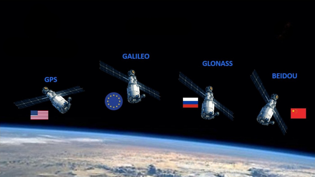
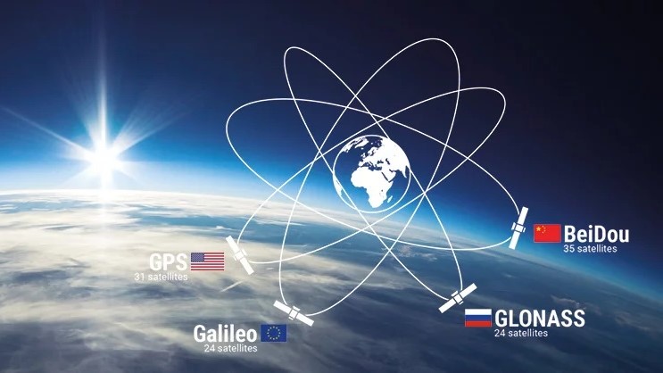
In today’s world, global navigation satellite systems (GNSS) have become an integral part of people’s daily lives, providing vital positioning, navigation, and timing (PNT) services, whether driving vehicles, outdoor adventures, or a variety of military and commercial applications. At present, there are four major satellite navigation systems in the world: United States’ Global Positioning System (GPS), China’s Beidou Satellite Navigation System (Beidou), Europe’s Galileo System (Galileo) and Russia’s Glonass System (Glonass).
United States GPS: Global Navigation Pioneer
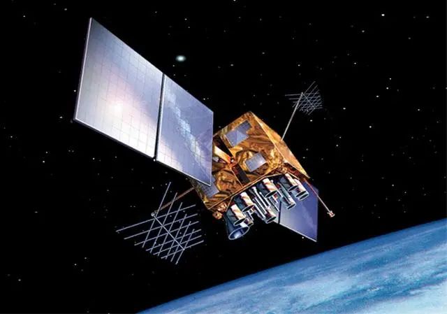
United States’ GPS system is the world’s first satellite navigation system established and put into use, since its implementation in 1973, it not only serves the United States military, but also provides a wide range of services for global users. The GPS system consists of 24 satellites, including 21 working satellites and 3 backup satellites, which are distributed in different orbits and orbit the Earth at different speeds.
It has the main functions of timing, navigation, timing and so on. These satellites emit radio waves called GPS signals, which contain information about the satellite’s position and time. GPS systems are widely used in civil and military fields, including car navigation, ship navigation, aviation navigation, military operations, and other fields.
GPS has the ability of real-time 3D navigation and positioning in the sea, land and air. It is the third largest space project in United States after the Apollo moon landing program and the Space Shuttle. In civilian use, the accuracy of the satellite navigation system reaches 10 meters; In the study, the accuracy limit of the satellite navigation system can reach 2.5 meters, and the accuracy of the maritime satellite navigation system has reached the level of 3 cm, but in the area with a small number of satellites and poor satellite distribution, the positioning accuracy is poor or cannot be located.
China Beidou: Latecomers prevail
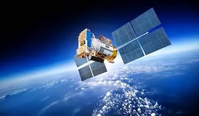
China’s Beidou Navigation Satellite System is a rising star, which began to be built in 2000 and has now developed into a full-fledged global navigation satellite system, providing all-weather, all-day high-precision positioning services for users around the world. The Beidou system has 56 satellites, demonstrating China’s major breakthrough and leading edge in GNSS technology. In recent years, the Beidou system has not only made significant progress in technology, but also its global number of users is growing rapidly. Some countries in the Middle East have begun to switch to the Beidou system, showing the attractiveness and influence of Beidou on a global scale. Part of the reason why the BeiDou system needs more satellites is that different orbit designs and communication frequency bands are used to provide wider coverage and more accurate services. This difference in design enables Beidou to provide more stable and reliable location services on a global scale.
Global coverage; With the main functions of timing, navigation, timing, short message communication, international search and rescue, the Beidou system is widely used in civil and military fields, including automobile navigation, ship navigation, aviation navigation, military operations and other fields, and has been widely used in agriculture, transportation, logistics, telecommunications and emergency rescue and other fields.
Beidou has strong anti-interference and high security performance, and can carry out short message communication. To provide services for global users, the spatial signal accuracy will be better than 0.5 meters, the global positioning accuracy will be better than 10 meters, the velocity measurement accuracy will be better than 0.2 meters/s, and the timing accuracy will be better than 20 nanoseconds. The positioning accuracy in the Asia-Pacific region will be better than 5 meters, the velocity measurement accuracy will be better than 0.1 m/s, and the timing accuracy will be better than 10 nanoseconds, and the overall performance will be greatly improved.
European Galileo: Leading the way in precision for universal use
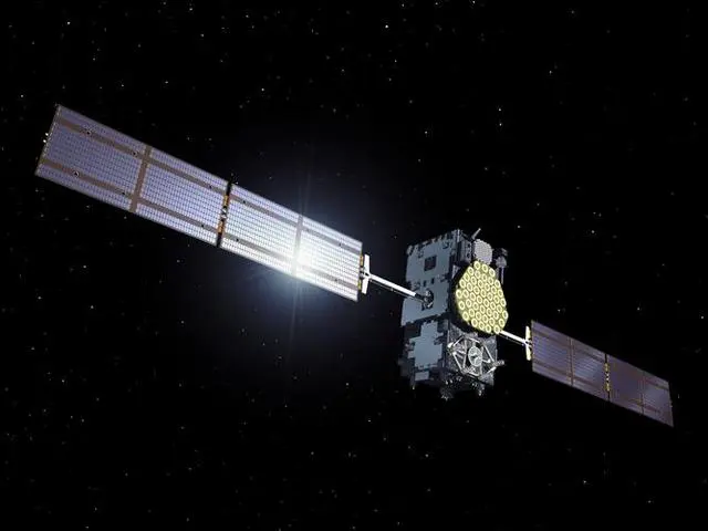

Europe’s Galileo system is committed to providing a fully civilian satellite navigation system, and although it is still in the experimental stage, its military-level positioning accuracy has reached 20 centimeters, demonstrating Europe’s ambition and technological innovation in this area.
Galileo is Europe’s navigation system that is planned to provide global coverage, with 30 satellites currently in orbit. It has the main functions of timing, navigation, search and rescue, and timing. It serves a variety of sectors, including aviation, navigation, mobile communications, and precision agriculture. Galileo’s navigation accuracy is no less than that of the existing GPS and Beidou systems. China was one of the early participants in the Galileo project, and after investing heavily in it, it was obstructed by the United States, which eventually led to the launch of the project. This makes China more determined to continue to build the Beidou series.
It covers all the earth’s surface and near-earth space, and consists of three parts: satellite constellation, ground monitoring and control station and user equipment. Strong anti-interference, strong positioning performance near the North Pole, can achieve high positioning accuracy of the system: distance accuracy is (10~15) m, timing accuracy is (20~30) ns, and speed accuracy is 0.01m.
Russia Glonass: the honor of navigation in Eastern Europe
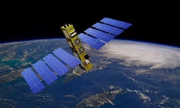
Russia’s Glonass system, although considered less accurate than Galileo, still has a global presence. The Glonass system consists of 26 satellites, and although the specific accuracy data is not disclosed, it undoubtedly provides important navigation services for Russia and surrounding areas.
The Glonass system was developed during the Soviet era, Russia officially upgraded its schedule in 1993, began operation in 2007, and began to provide limited services worldwide in 2009. Glonass mainly serves Russia and its surrounding areas, with plans to expand into a global system.
It has the main functions of timing, navigation, measurement, timing and so on. The satellite began with the United States GPS at the same time, mainly in the military field of the former Soviet Union, and in recent years, with the launch of the Glonass-M and the more modern Glonass-K satellites, the Glonass space constellation has been gradually updated. It is now sufficient to meet the needs of special and civilian (both commercial and scientific) users, as well as international demand for satellite navigation technology in Russia. According to the website of Russia’s Glavkosmos (a commercial space promotion subsidiary of Russia’s State Space Corporation), Russia plans to update the Glonass navigation satellite orbit group with three new-generation satellites in 2023, including two Glonass-K and one Glonass-K2.
It covers all the earth’s surface and near-earth space, and consists of three parts: satellite constellation, ground monitoring and control station and user equipment. Strong anti-interference, strong positioning performance near the North Pole, can achieve high positioning accuracy of the system: distance accuracy is (10~15) m, timing accuracy is (20~30) ns, and speed accuracy is 0.01m.
The Future of Satellite Positioning Technology
The highest accuracy of satellite positioning is often affected by the accuracy of the atomic clock, and the stability of the atomic clock determines the accuracy of signal transmission and the positioning accuracy of the system as a whole.
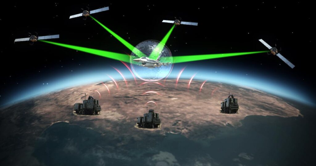
The core of satellite positioning is to receive signals transmitted by multiple satellites, and determine the position of the receiver by calculating the difference in the arrival time of the signal (i.e., the time difference). This process requires highly synchronized time signals and positioning information between satellites, which is one of the most critical technical challenges in the entire system. To achieve this, each satellite navigation system uses sophisticated algorithms and technologies to ensure a high degree of signal synchronization and positioning accuracy.
All in all, the development of the global navigation satellite system not only demonstrates the competition and cooperation between countries in the field of space science and technology, but also provides unprecedented convenience for global users. With the continuous advancement of technology, the future global navigation satellite system will be more accurate and reliable, bringing greater changes and development opportunities to all fields of human society.
